
Satellite navigation is precise, reliable and available continuously around the globe, but overreliance on it presents a clear and present danger to the smooth passage of maritime trade, concludes a major ESA-backed study.
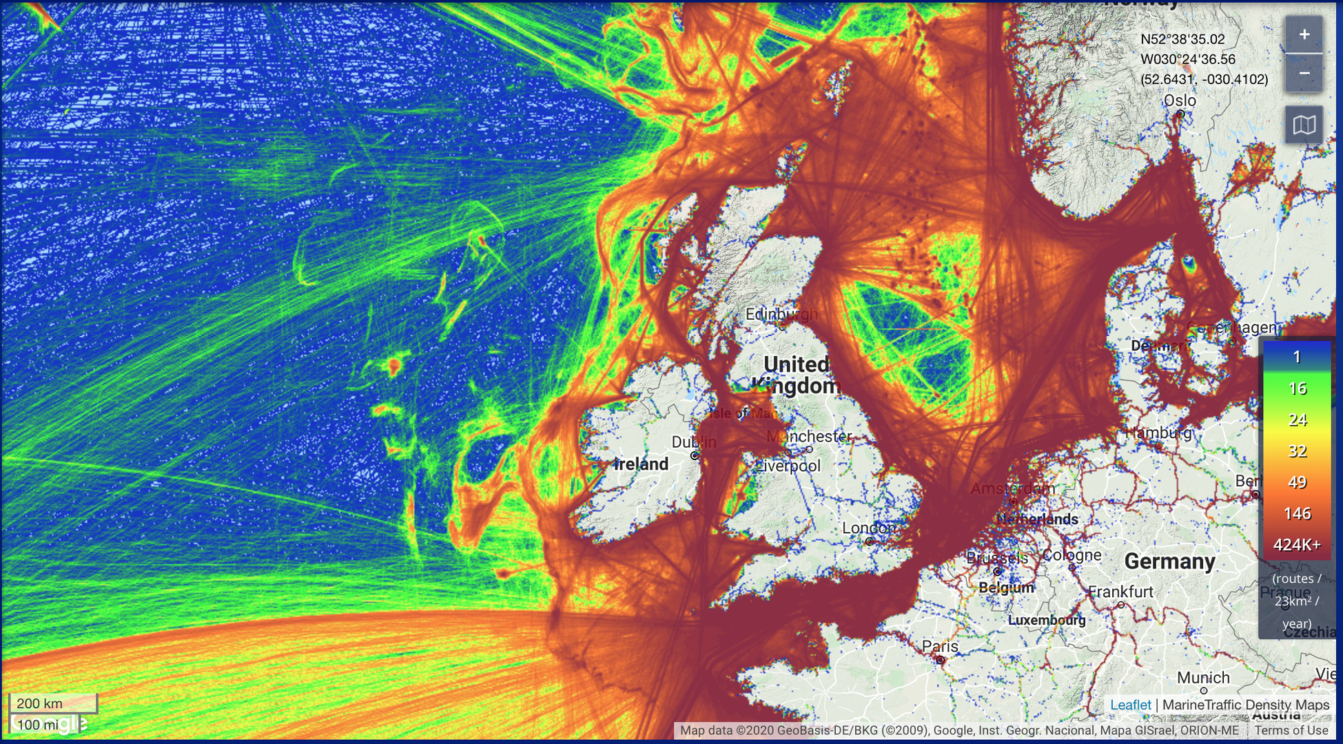
Maritime traffic around British Isles
With seaborne trade projected to double by 2030, the MarRINav project used a simulation approach to ‘stress test’ current navigation methods along highly trafficked shipping lanes around the British Isles. Every day more than 1.36 million tonnes of cargo arrive at major UK ports, guided predominantly by signals from space. Read more…