 Speaking at a dedicated session entitled “Applications: Earth Sciences and Geo-Information”, part of EUREF’s annual symposium, representatives of the mapping and surveying sector discussed the various synergies between GNSS and Earth Observation and their use for providing real-time information about the state of the Earth’s troposphere.
EUREF, the International Association of Geodesy (IAG) Reference Frame Sub-Commission for Europe, is dedicated to the definition, realisation and maintenance of the European Geodetic Reference Systems. Included in this mission is the development and maintenance of the EUREF GNSS Permanent Network (EPN), which is a ground-based GNSS infrastructure for scientific and practical applications in positioning and navigation. EUREF provides standards and guidelines to European National Mapping Authorities in order to harmonise the definition and adoption of national coordinate reference systems.
“Geodetic techniques measure the situation on the earth’s surface, and modern space technologies extend these observations to orbiting satellites,” says Professor Alessandro Caporali of Italy’s University of Padova. “As a result, today the position of particular sites on the earth’s surface and its variation is known to the sub-millimetre level for the period of decades.” He also explains how these techniques are sensitive to many occurrences within the earth’s system, including changes in atmosphere, movement of tectonic plates and the state of solar radiation.
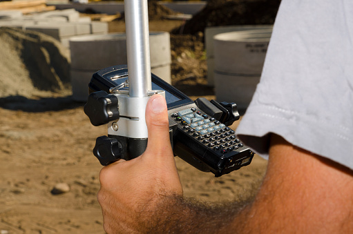
Professor Caporali is working with EUREF in establishing a European system of latitude and longitude via GNSS-based techniques. Temporal changes of these coordinates, of the order of few mm per year, are used to understand the motions taking place on the earth’s surface. To do this, the organisation has established a range of GNSS ground stations to compute coordinates. Previously, these stations relied on GPS and GLONASS, but are now also incorporating Galileo signals – an effort that they are collaborating with the GSA on.
GNSS data integrates well
Areas where GNSS stations move towards each other are recognised by a decreasing relative distance and indicate a compression of the upper Earth crust. Likewise, areas of extensional or shear stress can be identified by analysing the relative displacements in time of GNSS stations at scales of some tens to one hundred km. This deformation measured at the surface is directly linked to deformation at depth, inferred from seismograms whenever an earthquake occurs, or by field surveys and geological mapping. For earthquakes of a magnitude greater than six, GNSS sites exhibit coordinate changes of several centimetres, depending on their distance from the hypocentre.
“The seismic displacement of GNSS sites is very helpful in constraining the coordinates of the hypocentre and other parameters of the causative fault,” says Professor Caporali. “GNSS data integrates very well with data provided by InSAR satellites, such as the recent Sentinel satellites, which are very sensitive to the vertical deformation.”
Important Galileo contribution
The propagation of microwaves from the GNSS satellites to an Earth-based receiver is affected by the electronic content in the ionosphere and by the pressure, temperature and humidity of the troposphere. Hence, an added value of the GNSS data is the direct measurement of the free electrons in the ionosphere, which is directly related to the solar activity and has profound impacts on everyday life (e.g. radio communications). “In the past, ionosphere sounding radars from a limited number of dedicated and expensive installations were used,” adds Caporali. “Now, low cost GNSS receivers with dual frequency capability make this research much cheaper and more detailed.”
“Galileo’s contribution is extremely important and fits well into our objectives, particularly as to the need for precise positioning” concludes Caporali. “I look forward to further close cooperation with the GSA.”