Monthly Archives: June 2016

Google opens up GNSS pseudoranges

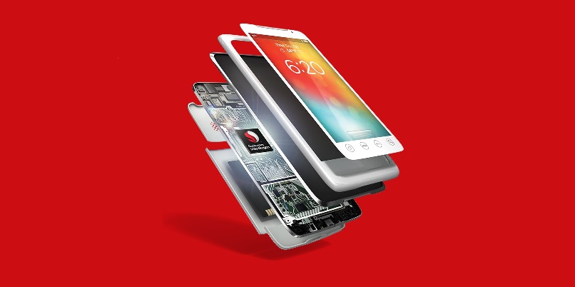
Google has announced that raw GNSS measurements will be available to apps in the Android N operating system, which will be released later this year. This means pseudoranges, dopplers and carrier phase will be obtainable from a phone or tablet computer.

The announcement came during Google’s I/O 2016, its three-day developer conference which was held May 18-20. The specific announcement occurs during a video summary of the conference, shown below.

“This is groundbreaking,” says Steve Malkos, a technical program manager at Google. “It is the first time in history that a mobile application will have access to Read more…

Qualcomm Technologies adds Galileo to product portfolio

Qualcomm SnapdragonIn a major boost for Galileo uptake in the location based services (LBS) market segment, the GSA announces that US-based Qalcomm Technologies, a world leader in 3G, 4G and next-generation wireless technologies, is adding support for Galileo across its Snapdragon processor and modern portfolios for smartphone, computing and automotive applications. The addition of Galileo to the company’s growing number of location-based applications and services will reduce time-to-first-fix, improve robustness and increase accuracy (particularly in challenging urban environments) ultimately providing the end user with an improved location performance. Read more…

Galileo’s Ariane 5 dispenser ready at spaceport

Four-satellite Galileo dispenserFollowing rigorous testing in France and Germany, a new type of dispenser designed to carry four navigation satellites into orbit at once is now in French Guiana, in place for Galileo’s first Ariane 5 launch later this year.

The dispenser is an essential element of launch success, with a double role to play. Firstly it must hold the quartet of satellites securely in place during the stresses of liftoff, and then the nearly four-hour long flight to medium-Earth orbit.

Then, once the Ariane 5 EPS upper stage reaches its target 23 222 km altitude, the dispenser has to release the four Galileo satellites smoothly Read more…

European satellite systems in service of European security

The European Parliament adopted a report on Space capabilities for European security and defence drafted by MEP Bogdan Zdrojewski. The document underlines the possibilities that have been gained by the Member States thanks to the EU programs, Copernicus and Galileo, in the areas of adequate positioning, border monitoring, air and maritime travel control, as well as the analysis of climate change.

“Positioning services and Earth observation capabilities, offered by the EU programs, Galileo and Copernicus respectively, should be used in order to assure the security of EU citizens” Read more…

EU Space Policy: Industry, Security And Defence

Written by Vincent Reillon and Patryk Pawlak

climate change mapAutonomous space capabilities play a key role for in enhancing situational awareness, response to complex crises (natural disasters), management of natural resources (water, forests), delivery of services (health, energy, transport, communication, weather forecasting), and national security. With an increasing number of countries gaining access to outer space, the EU has intensified its efforts towards adopting a space strategy for Europe. Read more…

Galileo PRS signal accessible via the cloud

Galileo drone at ordnance surveyIn what is being described as a “world first” the Public Regulated Service (PRS) of the new European satellite network Galileo has been delivered via the “cloud”, paving the way for its automated use by emergency and security services and critical national infrastructure (CNI) as the secure position and timing service of choice across Europe.

The ability to access the PRS via the cloud overcomes a major problem for some potential PRS users due to the security protocols that are required when managing the cryptographic keys needed to access the signals. Read more…