From space to civil protection – How SUNSHINE supports disaster resilience in Europe

Europe’s risk landscape is changing rapidly, with climate-driven hazards and complex crises placing increasing demands on civil protection authorities. As disasters become more frequent, intense and cross-border by nature, the ability to anticipate events, efficiently prepare, respond rapidly, and coordinate across systems and institutions depends on access to timely, reliable, and interoperable information.

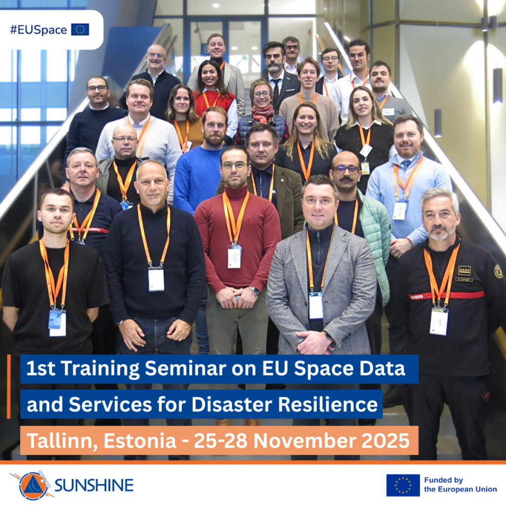
Group photo of the participants to the SUNSHINE Training Seminar in Tallinn in November 2025. Credit: European Union, SUNSHINE Project.

Space-based data and services are becoming central to this effort, yet their operational uptake remains uneven across Europe. Bridging this gap between technological potential and real-world and operational use is precisely the mission of SUNSHINE, an EU-funded project designed to ensure that Europe’s space investments deliver tangible benefits for the safety and protection of EU citizens. Read more…

How EGNOS has revolutionised the way we fly

GNSS is key for a wide array of applications in today’s modern, interconnected world. From everyday tasks such as using maps on smartphones for navigation, to more complex systems involving logistics, emergency services, and infrastructure management, satellite navigation and timing plays an important role.  

The LPV-200 Service relies on satellite technology rather than airport-specific infrastructure. This makes it a more flexible and cost-effective option

While GNSS such as Galileo and GPS are sufficient for daily commuting, aircraft pilots need a higher level of accuracy, precision, and above all, confidence in the reliability of the signals, known as integrity, to get themselves and their passengers to their destination safely. Enter EGNOS, the European Geostationary Navigation Overlay Service. Read more…

I/NAV improvements now available to Galileo Open Service users

As of August, 2023, operational Galileo GNSS satellites, with some exceptions, have been updated and are now transmitting an improved I/NAV message. Users will see an enhancement in the Galileo E1 Open Service (OS) performance in terms of robustness and a significant reduction in time to first fix in challenging environments, with both unassisted and assisted GNSS. Backward compatibility is assured, with no impact on legacy receivers and low complexity implementation within OS receivers.

ESA ESTEC will be one of the sites used for the I-NAV test campaign

ESA ESTEC will be one of the sites used for the I-NAV test campaign

Galileo satellites broadcast different types of data in four navigation messages: the F/NAV and I/NAV navigation messages, a commercial navigation message (C/NAV) and a governmental navigation message (G/NAV). The latest upgrade comprises new features added to the I/NAV message, carried by the E1-B signal. Read more…

EUSPA takes on the EU Space Surveillance and Tracking (SST) Frontdesk

The abundance of satellites is not only responsible for “an unprecedented space traffic jam” but it’s also the cause of a large amount of space debris which is increasing at an alarming rate.

EU SST logo

According to the European Commission, over 1 million debris items larger than 1cm are currently orbiting the Earth ranging from screws and dead satellites to space rocket components. To address the issue of space congestionRead more…

EUSPA, the European Union Agency for the Space Programme: The start of a new era for EU Space

The European Union Agency for the Space Programme, EUSPA, was launched on 12 May marking the start of a new era for EU Space. Building on the legacy of the European GNSS Agency, EUSPA will take on more responsibilities to create even more opportunities from Space for EU citizens and its economy.

euspa-logo

The adoption of the Regulation establishing the new EU Space Programme on April 27 marks a new beginning for the EU Space Programme and for the European GNSS Agency (GSA), which has now officially evolved into EUSPA, with an expanded mandate and new responsibilities.

Read more…

Ten years of safer skies with Europe’s other satnav system

With 26 satellites in orbit and more than two billion receivers in use, Europe’s Galileo satellite navigation system has made a massive impact. But our continent has another satnav system that has been providing safety-of-life services for ten years now – chances are that you’ve benefited from it without noticing.

EGNOS

EGNOS

Its name is EGNOS, the European Geostationary Navigation Overlay Service. Transmitting signals from a duo of satellite transponders in geostationary orbit, EGNOS gives additional precision to US GPS signals – delivering an average precision of 1.5 metres over European territory, a tenfold improvement over un-augmented signals in the worst-case – and also confirmation of their ‘integrity’ – or reliability – through additional messaging identifying any residual errors. Read more…

Galileo satellite performs collision avoidance manoeuvre

Under the management of the European GNSS Agency (GSA), a collision avoidance manoeuvre for satellite GSAT0219 was performed during the first weekend of March. This manoeuvre was conducted following a collision risk alert received from EU Space Surveillance and Tracking (EUSST).

First collision avoidance manoeuvre in the Galileo constellation

First collision avoidance manoeuvre in the Galileo constellation

On 25 February, the Galileo Service Operator (GSOp) received from the EUSST a collision risk alert between GSAT0219 and an inert Ariane 4 upper stage launched in 1989. Following this warning, GSOp started to closely monitor the risk, in close cooperation with EUSST that was refining its predictions. Read more…