Following Galileo initial service declaration in 2016, the increasing availability of Galileo–enabled receivers and the fast-growing market of drone-based applications and services, the European GNSS Agency (GSA) market activities are focusing on Galileo “Good Use” by increasing the awareness and stimulating its use by entrepreneurs and general public.
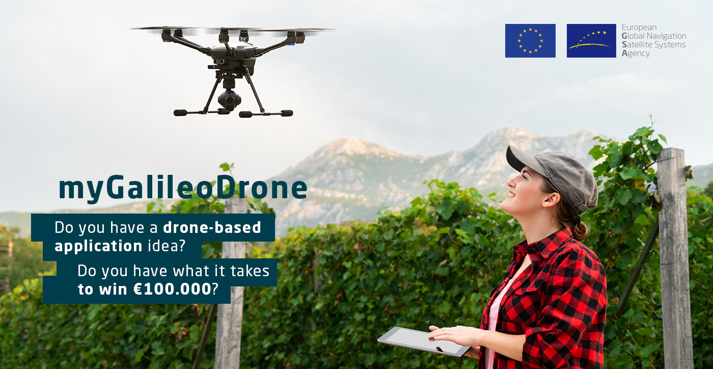
#MyGalileoDrone competition 2020
Through the #MyGalileoDrone contest, the GSA aims at encouraging the development of applications and services based on drones using Galileo positioning, offering high accuracy and increased robustness, in order to stimulate business creation in this new, growing, and innovative market.
It is expected that the contest will stimulate drone application developers and service providers to learn about the Galileo potential and create new tools that could be exploited also in future projects. From the point of view of final users, the contest will allow to have in the market innovative applications and services based on drones and powered by Galileo, to showcase Galileo performance and benefits, fostering its introduction into this new market.
#MyGalileoDrone – The challenge
The aim of the contest is to design, develop, test and prepare for commercial launch a drone-based application and/or service able to provide a position and/or time fix by using Galileo-enabled receiver. The use of Galileo shall be understood in a broad sense, and not limited to the navigation components in the flying platform.
The competition is open to integration of Galileo in any of the drone components or other equipment supporting the operations, that is, the flying platform (autopilot or other payload), the ground control station, or any other devices supporting the implementation of the application, such as smartphone, as well as external ones, such as U-Space services.
The Galileo Open Service (OS) and Search and Rescue (SAR) Service launched on 15 December 2016 as part of Galileo Initial Services are of special interest for drone based services.
The OS provides a free dual-frequency service for positioning, navigation and timing, increasing the accuracy and robustness of the PNT solution for drone-based applications.
The SAR service contributes to live-saving efforts by swiftly relaying radio beacon distress signals to the relevant SAR crews by means of dedicated payloads on-board Galileo satellites, and therefore locating people in distress and makes their position known to the relevant authorities. On January 21 2020, the SAR/Galileo Return Link Service (RLS) was declared operational. It provides an automatic acknowledgement message back to the user informing them that their request for help has been received.
Each participating team shall propose an application targeting one of the following development areas:
- Urban air mobility: Personal transportation services in urban areas, in the longer term
- Parcel delivery & e-Commerce: Drones supporting package delivery, as support to post services or transport of goods, from warehouses to dedicated landing site, or to recipients (customer’s home in urban environment) in the longer term.
- Infrastructure inspection: Power grid, transport network energy distribution, solar panels inspection, offshore platforms, wind farms, etc.
- Leisure: Toys, aero-modelling, self-tracking/filming drones (first person view), drone racing, etc.
- Maritime surveillance: Provision of a situational awareness in maritime areas through long-endurance drones.
- Agriculture: Precision agriculture, crop/field/soil monitoring, variable rate applications, livestock tracking, insurance, forest monitoring & management, etc.
- Surveying: Cadastral surveying, mining, marine surveying, GIS, photogrammetry, etc.
- Emergency management: Support to SAR (Search and Rescue) operations, firefighting, other natural disaster monitoring (e.g. floods, forest fires, earthquakes, etc), patrol, security, etc.
- Scientific applications: Meteorological monitoring, atmospheric measurements, swarm techniques, general R&D, etc.
- Traffic management: Flight planning, tracking, assistance to deconfliction, separation, surveillance, traffic information, capacity management, interface with ATC and manned aviation
- U-Space services: Applications supporting e-identification, geoawareness, geofencing, operation planning, detect and avoid, incident reporting as well as other supporting future drone operations.
- Other applications: Calibration of aviation nav-aids, asset management, advertisement, marketing, entertainment, etc.
The application/service must demonstrate that the increased accuracy/availability provided by Galileo, within multi-constellation and preferably multi-frequency solution provides added value to the application.
Each application/service shall demonstrate the use of Galileo. This can be done indicatively by any of the options below:
- Cross-checking the list of drones using Galileo capable receivers (in the #myGalileoDrone competition website: www.gsa.europa.eu/myGalileoDrone).
- Adding a Galileo capable receiver as a payload or integrated into the drone autopilot for the purpose of the application. The list of Galileo capable receivers suited for drone applications is available on www.usegalileo.eu.
- In case the receiver used for the purpose of the competition is Galileo ready but the capability is not activated by the manufacturer by default, the applicant shall activate it by the use of existing software.
- Using a Galileo ready smartphone (or other device) as part of the application or service.
- Integrating a Galileo capable receiver in the platform used for the purpose of the application, as described above.
- Other means of demonstrating the Galileo use and increased performance may be proposed by the applicant in their proposal.
For additinal information, please refer to #MyGalileoDrone website.